Monday, July 10, 2023

Anamosa, Iowa

 TheNational Motorcycle Museum opened in downtown Anamosa, Iowa in 1989 and was founded as a non-profit 501(c)3 corporation by a combination of motorcycle dealers, collectors, and motorcycle enthusiasts. The original building occupied two floors - the ground floor and a basement, but in 2010 the museum moved to a repurposed building just outside Anamosa that doubled the size of the museum and also had everything on one floor. The museum kept going via donations, admissions, museum sales (T-shirts, models, books, etc.), memberships, and events. One of the main movers behind the museum was John Parham, founder (in 1979) of J&P Cycles, a motorcycle accessories distributor and manufacturer that does mail order and also has six retail stores, including one down the road from the museum. Parham was an avid collector and many of his bikes and memorabilia are on display in the museum, along with those of other collectors who loaned their bikes to the museum. Parham passed away in 2017, and now the museum will close its doors on September 5 of this year, closely followed by a Mecum auction of Parham's estate. The finances of museums like this are such that they need a foundation or wealthy benefactor (Barber museum, Haas Moto Museum) to keep going - admissions and T-shirt sales won't cover the operating expenses. I've visited the museum three times (maybe four) over the years, and thought that I should go one more time before it closes its doors for good. 

Thursday, July 13 2023: I left the house a little before 10 this morning about an hour later than I wanted to. Aside from a jam up on 19th Avenue due to road construction traffic was light on 101 north, 37 across the delta, and even I-80 through Fairfield. I stopped at Iron Steed Harley Davidson in Vacaville to shed my jacket liner, switch to light gloves, and open all the vents on my jacket and pants. It was 55 when I left SF, 70 in Vallejo, and 85 in Vacaville. I stopped at Granzella’s in Williams on I-5 and had lunch, then continued on I-5 to Redding where it reached 100 degrees. US 299 east from Redding is a good road, scenic and easy riding, but there were three places where I was held up for 15-20 minutes due to road construction - one lane and a pilot car. The temperature was 85 to 90, a little cooler over a couple of low passes. A stop in Burney for gas and on the way out of town I passed the Blackberry Patch restaurant where Carol (and John and Karen) and I had breakfast two years ago on our way to Great Falls, Montana. There were still Help Wanted signs in the restaurant windows. I arrived at the Hotel Niles in Alturas at 6:30 and checked in. This is an old hotel that hasn’t been upgraded a lot - noisy window air conditioner, few electric outlets, poor room lighting, no elevator - I suppose you could call it charming.


My room is the Spirit of Africa Suite. Dinner was downstairs in the Hotel Niles Restaurant. The bike is running fine, although it used a little oil - to be expected going 75-80 mph in 100 degree heat. Tomorrow is a long day and I lose an hour going into mountain time, so I hope to get an early start. (377 miles)

Friday, July 14: Coffee and a pastry from the coffee shop downstairs is included with a stay at Hotel Niles. The room was old-fashioned but comfortable and I slept well and was on the road at 8:30, later than I’d hoped. US 395 is pleasant motoring and there was little traffic. The road goes through ranch land and there are hills in the distance, and Goose Lake to the west. After an hour I stopped in Lakeview, Oregon for gas and breakfast, but I somehow missed the Tall Town Cafe, my intended choice, and ended up in the small downtown area (off 395) at the Downtown Cafe, which was OK. After breakfast I discovered that if I’d continued past the Chevron station for a quarter mile I would have found the Tall Town Cafe - apparently Lakeview is known locally as Tall Town. 

Unlike two years ago there was no road construction on 395 and I enjoyed the scenery and the occasional curvy sections near the lake, although few of the curves required a downshift to fifth gear. At US 20 (AKA Euclid Ave. in the Cleveland, Ohio area) I turned east and there was more traffic, although nothing heavy and everyone moved at or over the limit except for farm vehicles and the occasional elderly truck. After Burns US 20 goes over a couple of low passes - Stinking Water and Drinkwater, both about 4500 feet - and the road is more interesting. In Juntura I rode by the Oasis Cafe where Carol, John, and Karen and I ate breakfast two years ago - it is the only business in town and I was happy to see a few pickups parked out front. Farther down the road in Vale I noticed that the large, freestanding sign for the Bates Motel is still there (Alfred Hitchcock Psycho reference) and the motel itself is actually open. Rather than ride north a ways through Ontario and connect with I-84 there I stayed on US 20/26 south to Nyssa and picked up I-84 farther south at Caldwell. The 15 miles or so was mostly large agricultural farms and a couple of small towns - not very interesting. 

Since I would be going near Boise at 5 PM I was worried about the traffic, but the Interstate (four lanes in each direction at that point) is far enough from the city that the traffic moved at the limit. North Boise has huge condo/apartment/townhouse developments, malls, car dealers, etc. - all signs that Boise is booming. South of Boise the speed limit went up to 80 mph, so I made good time to Mountain Home, where I’m spending the night at the Mountain Home Inn, east of the Interstate and the city. The motel is functional and new and dinner at the Savory Layne Steakhouse (I had crispy chicken salad) was OK. When I returned to the restaurant I spoke with a guy who parked his Harley next to my bike (I’m on my 2008 BMW R1200R this trip). He is from Athens, Ohio and had been up to Spokane, Washington and was heading home. Just after he pulled in a group of six Harleys rode into the parking lot, so I suspect that I’ll see a lot of bikes on the road tomorrow and Sunday. 

The weather today was clear and sunny with temperatures (after mid-morning) mostly from 80-95 with a high of 97 - just about perfect riding weather. The next few days should be more of the same but slightly cooler. No pictures today because there was really nothing noteworthy or quirky. Scenery doesn’t really show up well in a small picture, and anyway I was enjoying myself and didn’t really want to stop. (425 miles)

Saturday, July 15: This morning I had coffee and a light breakfast from the Continental breakfast at the hotel - enough to get me down the road 60 miles to Musher’s Mug in Fairfield. The Mountain Home Inn is part of the Magnuson Group, who have hotels near vacation spots. The room was very functional, well thought out, and up to date. Before I left I spent some time talking motorcycles with the guy with the Harley parked next to me, so I didn’t leave until nine, dressed too warmly for the temperature, although it cooled off going over a couple of 4500 foot hills. I had a little difficulty finding Musher’s Mug - it is a tiny place that faces a dirt road with only a small sign. The town school teams are called The Mushers, and the place was also a stopping point many years ago for an annual sled dog race. 


Although biscuits and gravy was on the menu I ordered French Toast out of deference to Carol (her favorite breakfast - sorry, Clark). Just as I was leaving a man came in and joined a couple at the other table (two tables in the cafe) and asked me about my bike. His name was Steve and he and his sister and brother-in-law (the couple) were staying near town for a family reunion. He was from San Diego, and back in 1976 had an R75/5 like Boris and traveled across the country. We talked bikes and trips we’d taken for awhile and I finally left after opening the vents on my jacket and pants, switching gloves, and packing away the jacket liner. 

Further down the road I stopped at a rest area and when I left I looped around the parking lot and took the wrong exit heading south on ID 75 instead of east on US 20 (the rest area is set back from where the two roads cross). After about five miles I wondered why the sun seemed to be in a different place in the sky, consulted my GPS, and turned around and went east on 20. Carol and the kids have always said that I can get lost in a closet. I rode through Picabo (you may remember Picabo Street, the Olympic skier from many years ago) and Carey (where US 20 joins US 26) and then past the lava fields of Craters of the Moon National Monument, where Nikki and I spent a couple of hour exploring back in 2019. On the west side of Arco there seemed to be a large flea market, which I ignored, and just past the “downtown” I turned right to follow my route and came on a very bad accident scene that featured a crushed small car that was mostly under a pickup truck. Emergency responders were there still trying to extricate the passengers, but they hadn’t worked out a detour yet (the whole road was blocked) so I went through a long gravel parking area to get around. The accident was in front of the Two Rivers Lodge, where I stayed one July 4 many years ago. There are several businesses in that area and the entrances and exits are not clearly defined so I guess I can see how someone could pull out in front of another vehicle - at least I think that is what probably happened. It was a frightful scene.

I rode past the turnoff for Atomic City, home of EBR 1, the first breeder reactor - Arco was the first city in the US to be lit by atomic power. There is an interesting museum and tour at the facility - Nikki and I visited in 2019 on our way to Yellowstone. I stayed on 20 (26 splits off and goes southeast to Blackfoot, and then goes north as part of I-15) to Idaho Falls and followed the GPS in a very roundabout route through town where I picked up US 26 again heading east. In Idaho Falls US 20 becomes part of I-15 north before it splits off some miles up the road to go northeast to the west entrance of Yellowstone Park. I’ve been through Idaho Falls a few times over the years going each direction and it was always confusing because the city had grown up, there was traffic, and the roads were poorly marked. The route that the GPS took me on was strange, but it did get me going in the right direction - without the GPS I’d probably still be riding around in Idaho Falls because there appeared to be no signage for US 20 and 26. At a roundabout in a newer section of town I saw this Waterfall sculpture and stopped to take a picture of it and a couple of impressive new buildings nearby.


The ride to Swan Valley (where I turned left on ID 31 towards Victor where I followed ID 33 to Teton Pass) became increasingly scenic. The town of Swan Valley isn’t much - ice cream shops, a couple of outfitters, lodges - but the valley itself is beautiful. At one point I crossed the Snake River and looked to the right to see a couple of small islands, wetlands, woods, mountains, and meadows. (Unfortunately, there was no good place to stop. Next time I’m through there I’ll park at one of the fishing parking lots and walk to the bridge.) There is ranch land and fields of green alfalfa and yellow rape seed (canola). It is a beautiful place. 

This being mid-July there was a lot of traffic, although it moved along fairly well. I’d get by a clump of cars and pickups, usually behind a motorhome or a truck pulling a travel trailer, and have clear road for a few miles, and then come upon another clump. Once over Teton Pass (8431 feet) the road (WY 22) descends quickly to US 89 and Jackson, WY, which was, as expected, very crowded on this beautiful Saturday in the middle of summer.


I made a brief stop at the Visitors’  Center north of town to have a cookie and ice tea (nothing to eat since the French toast in Fairfield). I didn’t even consider stopping in Jackson itself. 


Traffic was heavy out of town, but once past the turnoff for Teton National Park it thinned out and I enjoyed the scenery and the views of the Grand Tetons, which always look to me like a little kid’s drawing of mountains - all jagged peaks.


At this point the road is US 191/89/287 and at Moran Junction (where you go left on 191 for Yellowstone) I followed 287 east towards the Continental Divide. By this time traffic was minimal - it was late afternoon - and I enjoyed the scenery and having the sun at my back I crossed the Continental Divide and shortly after went over Togwotee Pass (9658 feet). I’d been passing the occasional cars, trucks, and RVs and hadn’t thought much about it. The BMW has so much power and the fuel injection mapping is so good that I didn’t notice that I was so high up, although I did wonder why some of the small cars I passed were going under the speed limit. The road descended gradually and I went by a few lodges and then was in Dubois, which reminds me of Cooke City at the northeast entrance to Yellowstone - very laid back. I’m staying in a cabin at the Twin Pines Lodge, an older establishment but comfortable. The cabins are named for local waterways - I’m in Kitten Creek. 


        I added a little oil to the bike, and then walked up the street to the Cowboy Cafe, where I had buffalo meatloaf. Fortunately, they did not have rhubarb pie, although they sometimes do.


It was a good riding day through beautiful scenery, and I can’t really complain about the traffic I encountered since it’s the middle of vacation season. The weather stayed mostly between 75-85 (high of about 90 at one point, down to 65 over Togwotee Pass) which is my favorite riding temperature. Tomorrow promises to be warmer. (413 miles)

    Sunday, July 16: This morning I was up at six and got coffee from the lobby and ate a Clif bar to get me going. I went for a walk in town and as I left the cabin I saw a bicyclist heading west towards Yellowstone/Teton - it was one of the guys at the other end of the table in the Cowboy Cafe yesterday evening. I’d heard them talking bicycles, and since Dubois is at almost 7000 feet and he was heading toward the pass at almost 10,000 feet he must be in good shape. Dubois is a working western town - I saw no fudge or ice cream shoppes, although there was an old-fashioned soda fountain in the drug store.


The town is a bit tired with buildings in need of paint and there are worn wooden sidewalks in places. It seems to cater to sportsmen and sportswomen and people stopping off on their way to the parks.


There is a very small Chamber of Commerce in a nice park bay the Wind River, a traditional antler arch, and even what appears to be an old mine right on Main St. (Highway 287).


Back in the cabin I packed the bike and left at 8:15. It was a clear day and I enjoyed the empty road, the occasional red rock outcroppings, the views of the Wind River, and the forest. 


After 50 miles the scenery became more grassland and rolling hills, which is what it would remain for the rest of the day. I was wary of wild critters on the road that early in the day, but all I saw were several prairie dogs, a red-tailed hawk that swooped low in search of prey (maybe one of the prairie dogs) and a few cows that wandered across the road. Yesterday evening I’d decided to change my route to go through Lander instead of Riverton; partly because US 287 goes through Lander and beyond that the road shows as a scenic route on my map, and partly because I’d checked for restaurants in Lander and discovered Mamaw’s Kitchen - my maternal grandmother was called Mamaw by the whole family. (Close friends called her that too, but  everyone else called her Mrs. Evans, except for my grandfather who called her Delia.) I hoped that the scenery and food at Mamaw’s would be worth the extra 40 miles or so. The restaurant is in a Travelodge and the food was good - I had the Country Boy breakfast which consisted of biscuits and gravy over hash browns with two eggs and bacon.


I managed to finish all of it except for some of the hash browns, and I wouldn’t eat anything until dinner except for an iced tea and a couple of cookies at 4 PM. Service was a bit slow - the restaurant does take out and was short-staffed like most places. I was back on the road an hour later and followed 287 through grasslands, ranches, and along the Sweetwater River. The road follows the Mormon Pioneer Trail and the Oregon Trail in places through the Antelope Hills and the Green Mountains. There was more traffic than I expected, but there are few roads in the area, and everyone moved along at about 5 mph above the generous 65 or 70 mph speed limits. At Muddy Gap I turned north east on WY 220 towards Casper and the scenery was more of the same until the bypass around Casper. There were no convenient gas stations in Casper, so I stopped in at a shopworn Jug & Loaf station in Bar Nunn on I-25 just north of Casper - I’d filled up in Lander figuring that there wouldn’t be gas until Casper, although there was a no-name station at the Muddy Gap junction. After 40 miles on I-25 I exited at WY 250 and followed the GPS to Midwest/Edgerton where I went east on WY 387 to Wright where I stopped at a very nice rest area on a small pond where a couple of kids were fishing. I think that the area is a public relations effort by an energy company - there was an (air-conditioned) room with displays of energy projects and a lady inside who would answer questions. The Thunder Basin produces coal (many coal trains loaded and unloaded nearby, and strip mining going on even on Sunday), oil, gas, and even uranium - everything that keeps the lights on (and the electric cars running). After my stop I went east on WY 450 through the Thunder Basin National Grassland (the official name of the huge area) and finally came to Newcastle where I found my lodging for the night, the Sundowner Inn. I checked in and the inn cat, Barry, checked out my helmet.


I think that the people who run the place are new at the game and it seems to be a work in progress. However, everything works and there is the promise of a big breakfast tomorrow. I’m not sure what look they are going for - maybe industrial/steam punk.


After dinner at nearby Frida’s Place (Mexican restaurant - good food, but the Mexican music was way too loud. I didn’t realize there was Mexican rap, but I shouldn’t be surprised. I walked around the area, and discovered that this is literally the wrong side of the tracks.

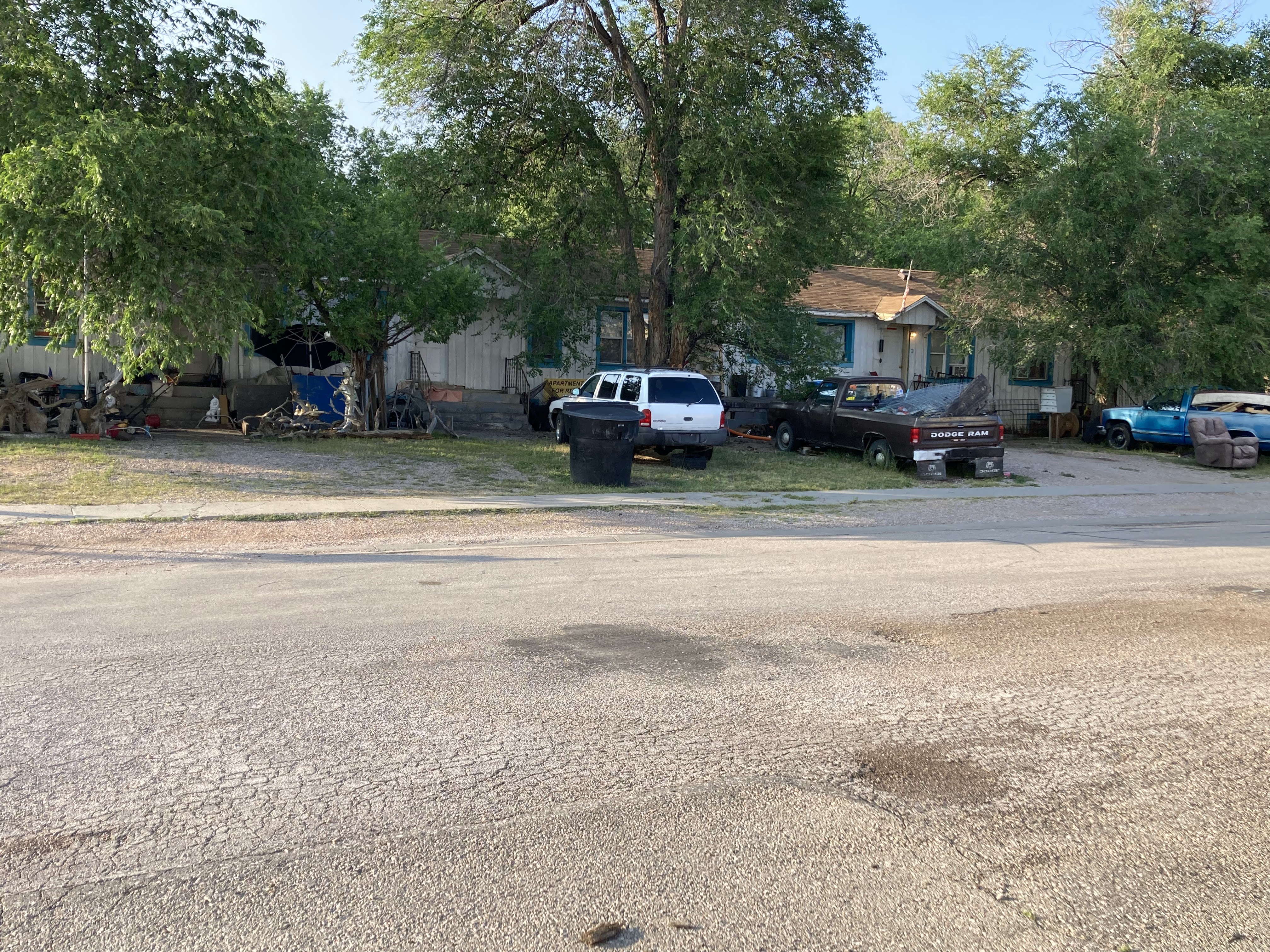


This 1958 Chevy Biscayne has possibilities, although it is a four door and the lower trim level.


I turned around and crossed the tracks and found that downtown Lander is a quaint old place although quiet on a Sunday evening except for people lined up to see the latest Mission Impossible movie.

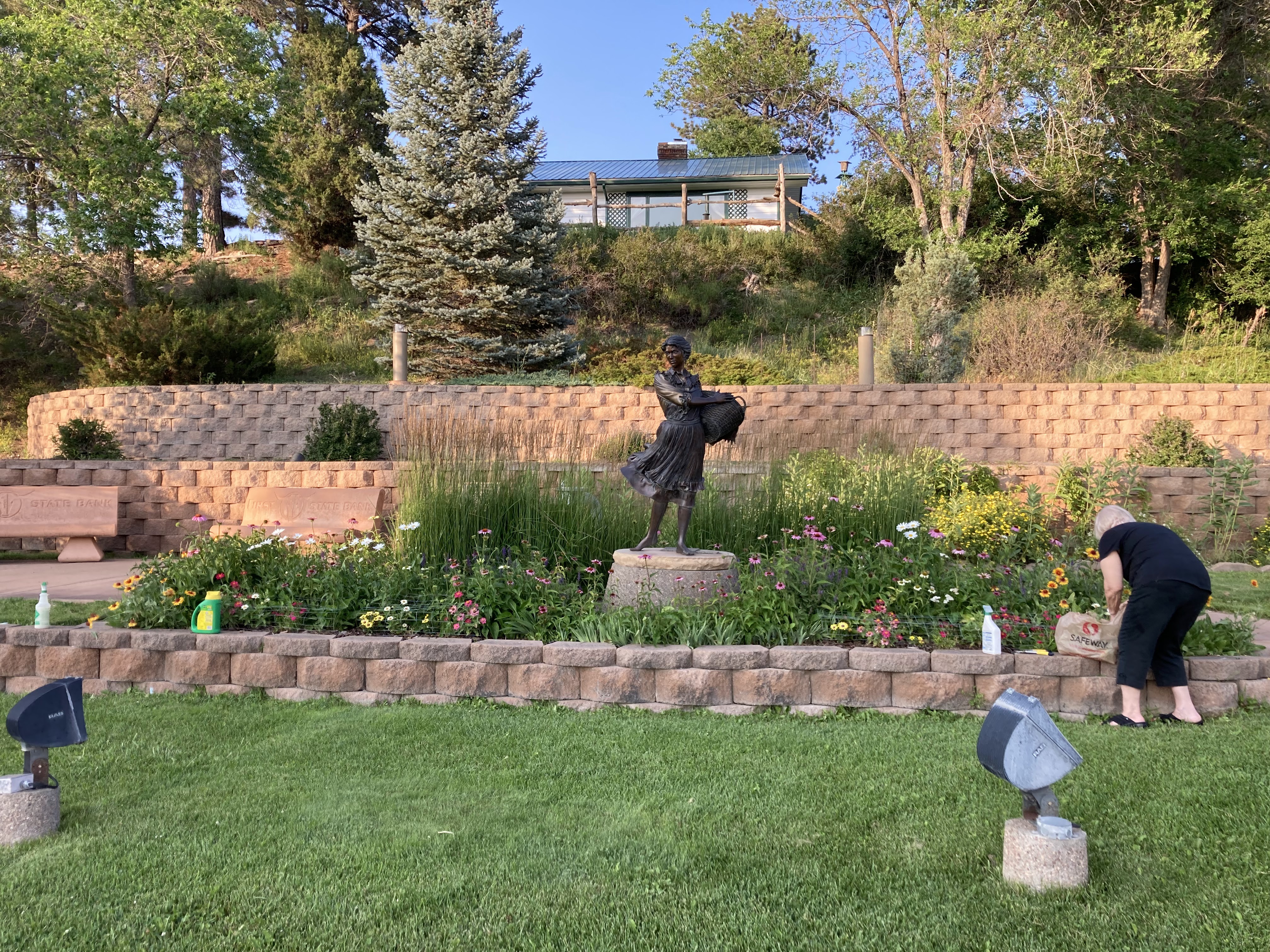


As I said, the Sundowner is a work in progress. When I returned the family who owns it was having dinner in the lobby and they asked if I’d like to join them. I declined, but it sure smelled good. 

Tomorrow I’ll leave early (I hope) for the Sturgis Motorcycle Museum about 70 miles away. After a couple of hours at the museum I’ll ride to Winner, South Dakota where I’m staying at a Super 8 and I hope to get there early enough to do a much needed laundry. I’ll also start a new post - this one is becoming unwieldy. So far there have been no pictures of motorcycles, but that will change tomorrow. (398 miles)


Saturday, June 17, 2023

Old Motorcycles in Dixon, CA


 Saturday, June 17, 2023: 

The Sutter Creek Chapter of the Antique Motorcycle Club of America hosts an annual swap meet and judged show at the Dixon May Fair (fairgrounds) about 20 miles west of Sacramento. I became aware of this event last month when I attended an old motorcycle show in Chico, CA and saw a flyer at the AMCA booth. I left San Francisco on my Harley Low Rider S a little after 10 and rode over the Golden Gate Bridge and up Highway 101 to Novato where I went east on Highway 37 across the delta to Vallejo and I-80 east. The weather was cool and cloudy and my throttle (right) hand was cramping, but, fortunately, I'd had the optional cruise control installed at my last service and I was able to set a speed and then flex and bend my hand until the cramps stopped. Once over Hunter Hill outside Vallejo the elevation drops and the temperature rises, which is sometimes unpleasant but today was welcome. What was not welcome was the heavy traffic that began in Fairfield and continued almost all the way to Dixon. I split lanes for 10-15 miles and eventually turned off in Vacaville for a stop at the Harley dealer (Iron Steed Motorcycles) where I shed my jacket liners and switched to lighter gloves. Back on I-80 and after a couple of miles I turned off on Midway Road, then left on S. 1st St. (CA 113) and parked across from Dixon May Fair. 

At the entrance to the fairgrounds I paid a small donation and began looking at the bikes on display. One of the first to catch my eye was this Ner-A-Car, the creation of Carl Neracher, which was made in the USA from 1921-1927 and in England under license from 1921-1926. It incorporated many advanced features such as a friction drive, multi-speed transmission, a pressed steel chassis, good weather protection, and hub-center steering. It was intended as a low-cost alternative to the motorcar, but Ford’s Model T wasn’t much more expensive and offered better weather protection and the ability to carry multiple passengers and cargo. Even so some 10,000 were made in the USA and another 6500 in England. In 1922 Erwin G. “Canonball” Baker rode a Ner-A-Car from Staten Island to Los Angeles in 174 hours, and the Ner-A-Car won several reliability contests in England.


This 250cc Yamaha (1969 or so) is a development of my first bike, a 1966 YDS3 250cc Yamaha. 


Dennis Magri, seated in the center, brought his “Vindian” - an Indian Chief with a Vincent engine and transmission. He also brought his Chinese Red Vincent Rapide, to which he added floorboards.


The single carb BSA Thunderbolt was the “cooking” 650cc bike as opposed to the hot Lightning with its twin-carburetors. However, this owner installed the Lightning twin-carb cylinder head on his Thunderbolt.        


Still, he wanted to make sure that anyone looking at the bike would know that it started life as a Thunderbolt. Nice airbrushing.


There was even a Good Humor three-wheeler, although he wasn’t selling ice cream.


The show area featured several beautiful BMWs


  And a trio of Triumphs from 1969 - two Bonnevilles and a Tiger 650.


An immaculate Thor and a very stylish Indian.


The Honda CBX with its inline, air-cooled,  six-cylinder engine was probably not a money-maker for the company, but it sure showed off Honda’s engineering and production expertise.

    
    There was a British Morgan 3-wheeler, which at the time of construction was classified as a motorcycle and thereby had substantially less road tax than a car.


And finally this 1920s (?) Harley replica board track or flat track racer is eye-catching orange.


At the show I spent some time talking with a guy from Sacramento who was raging about the traffic on I-80. I completely agreed with him and we tried to figure out what could have caused the traffic because there were no accidents or active road construction. We came to no decision. Fortunately, whatever had caused all the traffic on I-80 had gone away, and I moved along until the usual slowdowns in Fairfield where the road goes from 5 lanes to 3. I elected to try my luck with CA 37 instead of the Richmond Bridge and all was well until the west side of the Wilson Ave. Bridge where the two lanes become one. I had about a half mile of stop and go and my clutch hand was getting very tired by the time the traffic finally began moving along at a reasonable pace. The rest of the way home was uneventful and I pulled into the driveway just in time to take Walter on his afternoon walk.;


Friends in Flagstaff, Arizona

 Tuesday, June 6, 2023:  The four of us (Geo, Bill, and Rich) all went to Northwestern in the mid-1960s and we have kept in touch over the years. Actually, Bill and I both live in San Francisco so we see each other fairly often. Geo lives in rural Wisconsin, and Rich lives in North Carolina. We all flew to Phoenix and arrived within a half hour of each other, and met at the Avis rental center where Geo had reserved a Buick Elante, 4700 pounds of comfortable and spacious SUV - plenty of room for the four of us and our luggage. 

Since we are old guys we had reserved rooms at a Marriott Aloft a few miles from PHX (the airport) rather than driving straight to Flagstaff. Geo and Rich had been up very early to catch their flight. The Aloft tries to be hip and modern but its main advantage is that it is so close to the airport and down a block and across the street is the last stop of the PHX Skytrain, an elevated train that runs every 5-10 minutes to another city stop, the three PHX terminals, and the car rental center. Very convenient and free. After checking in and settling in our rooms we looked for dinner. The Aloft is in a grungy area but we found a lively brewpub about four blocks away where they had several choices of NA beer as well as their own brews and other bottled beer. 

Wednesday, June 7: Breakfast at the Aloft was limited but what they had was OK - not included with the room, though. We loaded up the Buick and followed Google Maps to I-17 north to AZ 69 to Prescott where we parked and wandered around the downtown area for an hour or so, and had lunch at the Palace Restaurant and Saloon. The decor is western cowboy kitsch, although most of it is original and unchanged so it is authentic kitsch. One of the Palace’s claim to fame is that parts of the Steve McQueen movie, Junior Bonner, were filmed there. Several large creeks converge in Prescott, so that is probably the reason the town was established. There is a central square with a park and the city hall, and various shops and businesses surround it. Someone will have to do a definitive paper on the proliferation of fudge shops in tourist destinations. 

We followed Google out of Prescott and over a twisty AZ 89 to Jerome, an old mining town, where we stopped to wander around a bit. There are galleries, the ubiquitous fudge shops, and watering holes, all very laid back. Back in the Buick we went a mile or so to a Jerome State Historic Park, which is on the site of an abandoned mine. 

Out of Jerome and back on AZ 89 we drove through Sedona, which is surrounded by hills and red rock formations, and after about 10 miles stopped at Slide Rock State Park. It was late in the afternoon so it wasn’t crowded, but judging by the size of the parking lot it is a popular place. The surrounding scenery is interesting, but the main claim to fame is the sliding area on the smooth rocks in the river that runs through the park.


Leaving Slide Rock we stayed on AZ 89 north through Oak Creek Canyon to Flagstaff where we found the Drury Inn and Suites, our home for the next four nights. The Drury is an older building of somewhat faded elegance, but the location is good (only a 10 minute walk to downtown) and the breakfast was substantial and tasty. There was a model railroad convention staying there so we were always in the presence of older men (and a few women) who were friendly and excited to be around people who shared a common interest. (On Saturday they would take a train ride to the Grand Canyon.) The desk clerk recommended a brew pub not far away, the Beaver Street Brewery where we were entertained by the perkiest waitress in town. 

Thursday, June 8, 2023: The Drury is right across the street from the north end of Northern Arizona University, the part of campus that is known as Old Main. I was up early and went for a short walk on campus - many trees, old brick buildings - before breakfast at the hotel. We had a busy day planned and we were on the road, US 89 north, a little after 9. We turned off after about a dozen miles at Sunset Crater Volcano National Monument where we stopped at the visitors’ center before continuing and parking for a walk around the lava fields and crater, the remnants of a volcano that erupted  a mere 1,000 years ago, the most recent volcanic eruption in Arizona. 


    After an hour or so we were back in the car and continued on the park loop to Wupatki National Monument, which features the remains of a pueblo and a (reconstructed) ball field/gathering area. After a quick stop in the visitors’ center we wandered around the pueblo.


This raven in back of the visitors’ center had a lot to say.


Back on the road we left the loop road and went north again on US 89 for 20 miles to Cameron, the turnoff for the Grand Canyon east entrance. The Cameron Trading Post is a souvenir shop, restaurant, and tourist trap, but has its own charm. Just pulling into the parking lot ahead of us was a group of motorcycles. All the riders were large men and were wearing vests with “Berglemuller” on the back along with “Born to Be Wild.” It turns out they were all from a small town in Austria and were touring Route 66 on their rental Harleys and two BMW cruisers.


After lunch at the restaurant we went south on 89 and then west on AZ 64 through Little Colorado River Gorge to the east entrance to Grand Canyon, where I asked the ranger about Shoshone Point. The ranger was fairly new to the park and said he’d never been there, but said that the entrance was near milepost 244. He also said that sometimes events, like weddings, were held there. Geo had been to Shoshone Point ten years ago and was anxious to return and show it to us. It is on the edge of the Grand Canyon and is a wide, rock outcropping so when you walk to the point you are surrounded by canyon on three sides. We found the dirt/gravel parking area and got ourselves together for the short (3/4 mile) walk to Shoshone Point. Just as we were locking up the car a new BMW 850i convertible pulled into the lot, and a young lady in a pale green gown exited and asked us if this was where Shoshone Point was. She was from Alabama, had rented the BMW in LA, and was there for a wedding. We told her that we were not in the wedding and that the point was almost a mile away up the uneven rocky road behind the gate. We left her trying to get a cell signal, walked around the gate and up the road when just then a white van (catering) pulled up to the gate, stopped and a person got out and unlocked the gate, and the van proceeded very slowly up the road. After another 10 minutes or so a white Chevy Suburban with blacked out windows came down the road very slowly, and a few minutes after that the Suburban passed up going the other way. Presumably, Miss Alabama was inside. Geo and I walked ahead up to the point, where we met a young guy in wedding clothes who gently informed us that there was a wedding going on. We could see a picnic table, a washroom, and out to the point where several people in wedding attire were gathered. As we walked back down the trail and met Bill and Rich, Geo was disappointed and going on about how the places in the park shouldn’t be rented out. We all assured him that it all made for a much better story, and we would see plenty of canyon at the South Rim.

During peak season the South Rim is very crowded, the three parking lots fill up, and visitors have to park a mile away and take a shuttle. It was about 4 PM, late in the day, and we had no problems parking. We all walked to the rim and along the rim trail, took pictures, and got back in the Buick and headed west and south and out of the park onto US 180. 


Earlier in the day we’d all noticed a haze in the air and a faint smoky smell. We discovered later that it was the result of a prescribed burn. After 30 miles US 180 turned southeast through woods hills, a scenic route, and after 50 miles or so we were back at the Drury. Dinner was across the street at 1899 and was OK - we’d had a long day and were hungry.

Friday, June 9, 2023: Today is a Flagstaff day. After breakfast at the Drury we walked up Beaver St., across the railroad tracks, and stopped at the nearby Flagstaff Visitor’s Center, which also serves as the Amtrak station. Continuing on we wandered around the small downtown and stopped in at a few shops and galleries. I also went into a real estate office and talked to a sales rep there who printed off a list of 20 houses for sale near downtown. I was exited about a move there until Carol, in a phone call, reminded me that Flagstaff averages over 100 inches of snow a year. Also, one of the clerks in a shop mentioned that they had 175 inches of snow the previous winter. 


After lunch outside at the Weatherford Hotel (Zane Grey stayed there) we walked back to the Drury, got in the Buick, and drove the short distance to Lowell Observatory, founded in 1894 by Percival Lowell, a descendent of the pilgrim Massachusetts Lowells, and ancestor of Robert Lowell, the poet. Lowell Observatory is most famous for the discovery of Pluto in 1930 by a young (24 years old) astronomer named Clyde Tombaugh, a farm boy from Kansas who loved astronomy and began his work at the observatory as a low level helper. The boxing glove in the picture below prevents users of the telescope from banging their heads on the lever arm.


The tour was informative and fun, led by a young student at NAU who was very adamant that Pluto was still a planet. Walking back to the hotel we passed by this mural in an alley.


Saturday, June 10: After a walk and breakfast we piled into the Buick and headed east on I-40 for an hour to the Meteor Crater exit. After a short drive on the access road we parked and paid our admission, wandered around, and joined a tour to an observation area. The tour guide was unamplified, but he had a drill sergeant’s voice so everyone in the group could hear him. The meteorite that caused the crater was about 150 feet across and was composed mostly of iron. The crater itself is three-quarters of a mile across and 600 feet deep (about half as deep as when it was originally formed) and the the force of the impact was the equivalent of a 20 megaton nuclear bomb. Fortunately, it all happened 50,000 years ago. Until the mid-20th century the accepted wisdom was that large craters like this were volcanic in origin, although some geologists had their doubts. A geologist who was studying the aftermath of nuclear bomb tests realized that the Meteor Crater in Arizona was very similar to craters that were formed by a large nuclear bomb, and since the geology of the area didn’t show volcanic activity, he theorized that the crater was the result of a large meteorite, and more study confirmed his hypothesis. 


If you look closely you can see an abandoned mine shaft near the center. There is also a life size model of an astronaut - training for the Apollo moon missions took place in the crater. Just as the guide finished his spiel and was answering questions, one of the visitors collapsed, presumably from the heat. There were a half dozen Army soldiers on leave and they jumped into action, shading the lady, propping her up, and urging her to drink sips of water. Soon a wheelchair rolled down the path and she was removed to the air-conditioned visitors’ center. 

Back in Flagstaff we walked downtown for lunch, and then took the Buick to the Museum of Northern Arizona, which is part natural history museum (geology, flora, and fauna of the Colorado Plateau), Native American cultural museum, and contemporary artwork by Native American artisans. The gift shop is well-stocked with interesting items, including this painting that I was tempted to purchase.


There are gardens and a couple of nice walking paths near the museum, and Geo and I took one of them that led down to a ravine and a creek. Back at the Drury, we walked downtown and returned to the Weatherford Hotel where we had dinner. Flagstaff is a charming small city, just the right size that you can see everything in a few days and very walkable. It is also the most dog-friendly town I’ve ever seen - even more so than Boulder.


That sign was similar to many we saw in the windows of shops, restaurants, and other businesses. That evening Rich and I spent an hour or so after dinner discussing various sociological, cultural, and political topics - just like when we were in college but with a lot less beer.

Sunday, June 11: After our final breakfast at the Drury we loaded up the Buick and headed south on US 89 through Oak Creek Canyon. It was another beautiful day and we enjoyed the drive and the scenery. When we drove by the entrance to Slide Rock State Park the cars were lined up onto the highway waiting to enter. We passed through Sedona without stopping - no need for fudge or crystals - but did turn off at Red Rocks State Park about 8 miles south. There is a small visitors’ center and museum, and several walking trails. We walked for about an hour and saw a Javelina on our path, who eventually went off into the brush to join his mate.

No idea what these plants are, but they are dramatic.


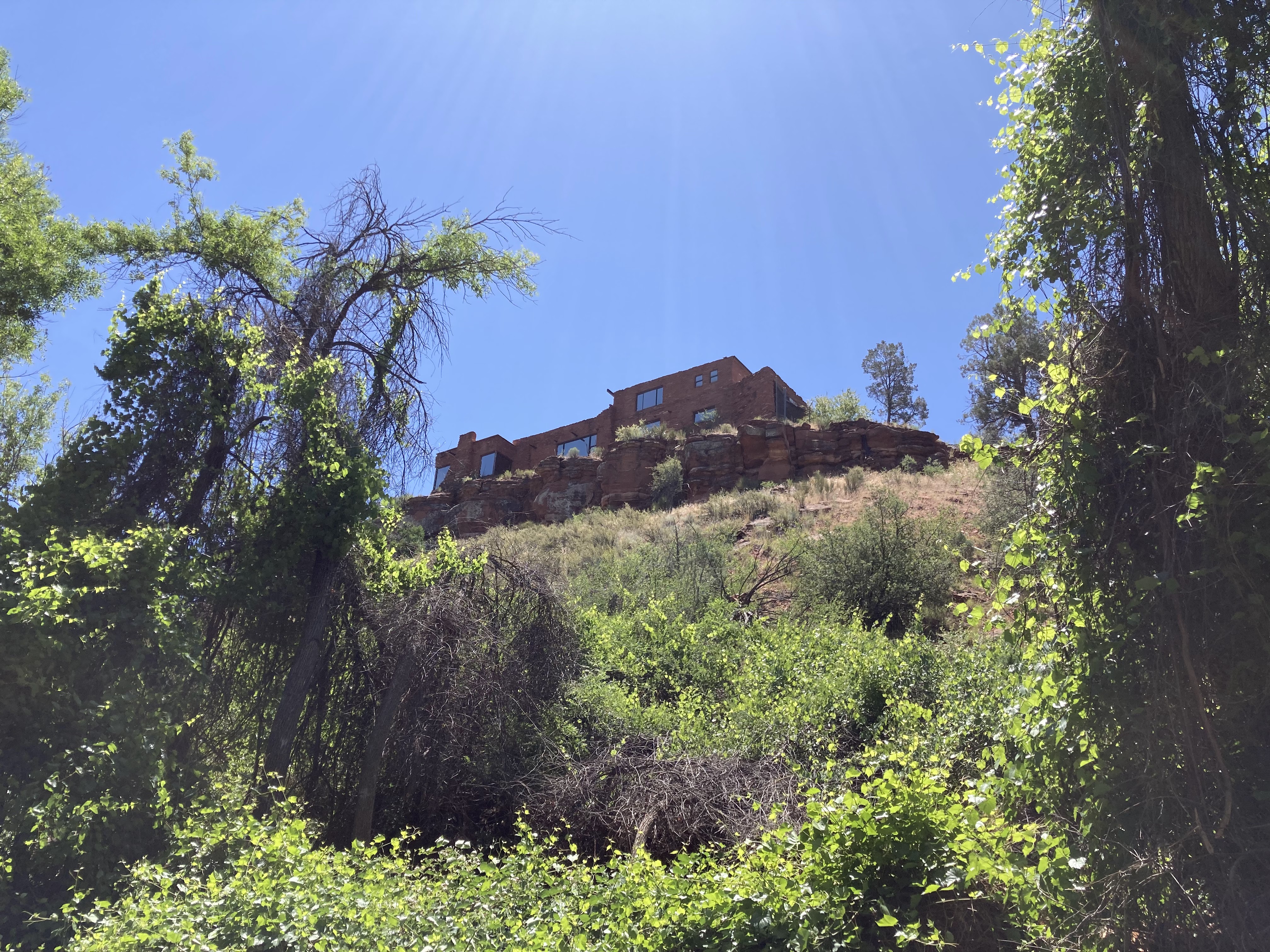
Someone found a good location to build his house - on a high ridge overlooking the park.


Back on the road we continued south on US 89 and soon joined I-17 south. We stopped at the Rock Springs Cafe and Pie Shop, which was very busy with Sunday customers buying pies and fudge. There was a 40 minute wait for a table, but after a few minutes of wandering around we cancelled the reservation and went back on the road. The restaurant was only about 1/3 full, but there was a staff shortage and everyone who worked there was moving at top speed - the labor shortage hasn’t eased in central Arizona. A few miles later we exited at New River and had lunch at the Roadrunner Restaurant and Saloon, a well-known biker hangout with food, drinks, entertainment, take-out, and a small gift shop. The parking lot had a few bikes, but mostly pickup trucks, the food was OK (we were hungry) the atmosphere was mild on a Sunday afternoon. The special drink of the day was a vodka and wine slurpee - your choice of wine. Geo was amused to see a customer at the next table wearing a bright red MAGA hat. 

At the Aloft in Phoenix we unloaded the car and Geo and I drove to the rental car center at PHX where we dropped off the Buick and took the Sky Train back to the Aloft. Dinner was pizza at the bar in the Aloft.

Monday, June 12. Geo had an early flight back to Milwaukee, and I walked with him partway to the train station before returning to the hotel. I wandered to a nearby donut shop and bought a coffee and donut, and then to make up for it I worked out for 45 minutes in the fitness center. Rich was staying an extra day before flying to Los Angeles to visit family, so Bill and I said our goodbyes, boarded the Sky Train to the airport, and had an uneventful flight back to San Francisco, where Doris, Bill’s wife, picked us up and drove me home. 

A good trip, and more interesting than I expected it to be. I’ve previously been to about half of the places we visited, but since I was on a motorcycle those times I only stopped to take a picture or two or grab a bite to eat. It was nice to spend some time exploring the area, and since Geo had been there in the past and does his research he had a good idea of what to visit.