In Prince Albert I went south on Highway 2 to St. Louis (not that one) and turned east on Highway 3 to Tisdale, Crooked River, and into Manitoba. The farmland turned to forest and at Highway 10 I went south to Swan River and Pine River. At Highway 5 I went east again through Dauphin and Ste. Rose du Lac and shortly thereafter rode a causeway across Lake Manitoba to Ashern where I turned south on Highway 68, which soon ran into Highway 6, a larger road that runs into Highway 1 near Winnipeg. I bypassed Winnipeg on Highway 44 and spent the night at a hotel in Whitemouth. The cafe next door was closed, but the bar - where I was the only customer -was open and I had a small frozen pizza. The hotel had no A/C, no Wi-Fi, and the bathroom was down the hall. There were railroad tracks across the road - I think the hotel was probably built for train crews - but I only heard a couple of trains in the early morning.

The next morning I stayed on 44 through woods and parks and stopped in West Hawk Lake for an excellent breakfast. How can you not stop at the Nite Hawk Cafe?

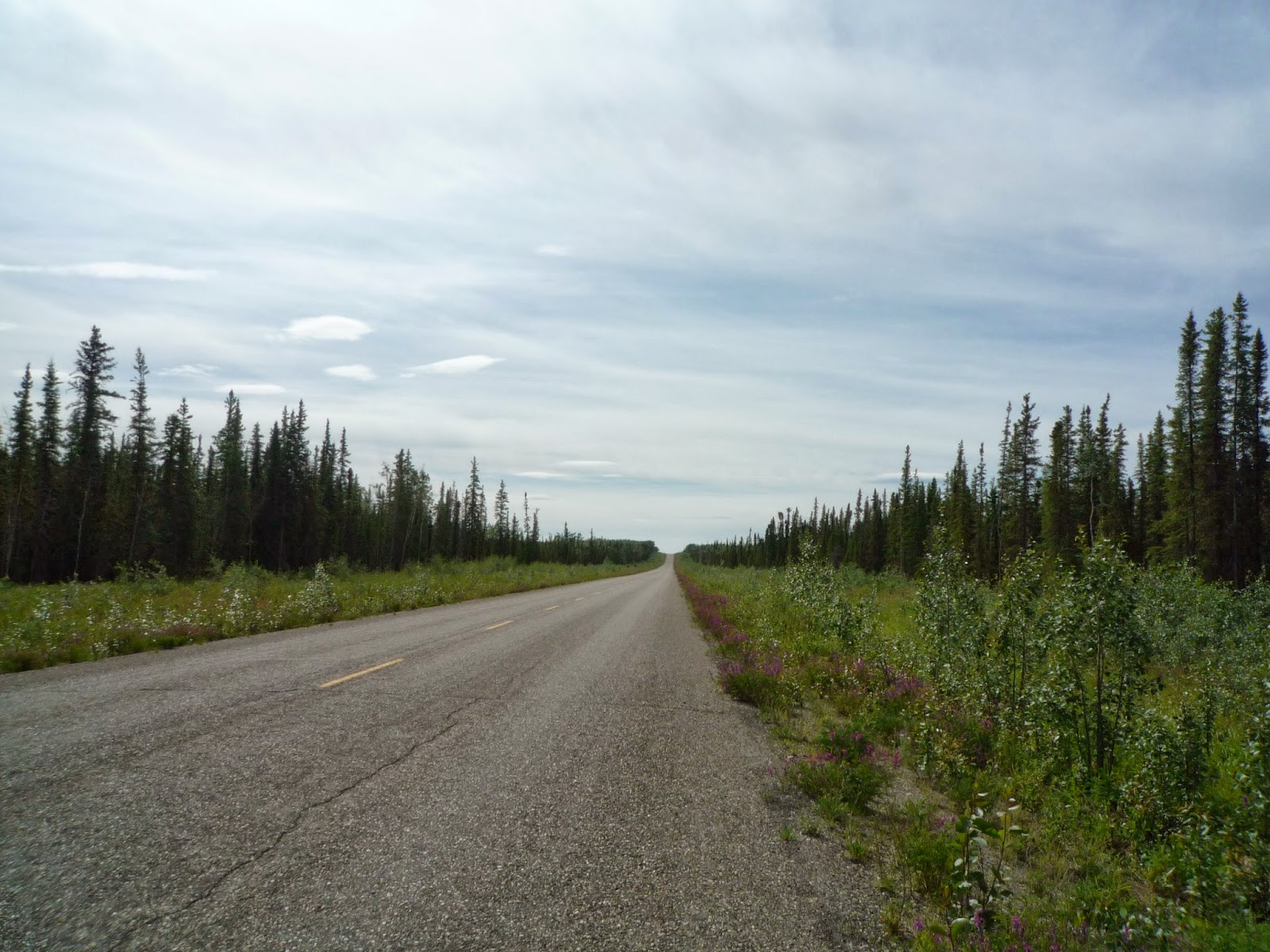
At Highway 17 I went east into Ontario and along the northern side of Lake of the Woods, and then went south on Highway 71 through Nestor Falls. This looks like vacation country with the forest and lakes and cabins. I'd been seeing signs advertising Nestor Falls, and though the actual falls was pleasant enough, it was somewhat less grand than I'd expected.

Now on Highway 11 I stopped at a Tim Horton's in Fort Frances, which is just across the border from International Falls, Minnesota. Deciding to do a little bit of tourism, I asked the young lady behind the counter where the fort was. She gave me an uncomprehending look, and I said, "Fort Frances, you know, there must be a fort here." An older woman walked by and told us that the fort had burned down some years before, and that there had been talk of rebuilding it, but nothing had ever been done. "Typical!" said the young woman. She was wearing various pieces of face jewelry, and her hair was dyed in more than one color. I figured she would be out of that town and on to someplace more interesting as soon as she could. It was actually a rather attractive town along a river with large, old buildings downtown.
Highway 11 ends at Thunder Bay and I rode Highway 17 through town and along then north end of Lake Superior.

The road follows the Lake to Sault Ste. Marie, where I crossed the border into Sault Ste. Marie, Michigan and spent the night at a Days Inn across from Studebaker's Restaurant.

The next morning was cool and gray and I rode on I-75 south for a few miles and then got off at St. Ignace and rode on US 23, which follows the western shore of Lake Huron. This is a pleasantly scenic road with a low 45 mph speed limit, many small towns, little traffic, and a lot of vacation cabins. There are also motels - I think I've heard about this place in a country western song.

The day was becoming more gray and cooler and I'd seen enough of Lake Huron, so I re-connected with I-75 and followed it to Flint and the US 23 (a four-lane freeway) into Ohio and then I-80/90 from Toledo to my sister's house in Lakewood on the west side of Cleveland. The Ohio Turnpike (I-80) is notorious for its never-ending road construction and for the zealous Highway Patrol speed limit enforcement. Within a few miles I saw five or six cars stopped by the road getting tickets.
I spent a week with my sister and her husband, and was able to visit my nephew and nieces and their families. I also installed 7/8 inch barbacks from Twisted Throttle that I'd ordered. After a week on the bike I noticed I had a tightness across my shoulders, and I thought that a slightly more upright seating position might help - and it did. I also had a minor service and a new front tire installed - a Heidenau K76 to match the rear tire - at a Suzuki dealer. Heidenau tires are not widely distributed in the US, and I'd ordered the tire from the distributor in Cedar Rapids, IA to be shipped to the Suzuki dealer in Aurora, OH. After the bike was done I rode to Euclid and went by the two houses where I grew up. I've always done that when I'm in Cleveland, but I don't think that I need to anymore.
The Pig Roasts began in 1968 in Highland Park, Illinois, and they've been going on every few years ever since. There were several in Highland Park, a couple in Chicago, several more in Wisconsin, one each in Ohio and Maryland, and even one in Walnut Creek, California. For the last 15 years or so they've been at a farm in Grant Park, Illinois, south of Chicago just across the Indiana border.

We used to dig a large pit in the ground and roast the pig in it, but there is now a more professional arrangement.


What with many of the original attendees, friends, relatives, sons and daughters, and neighbors, there are anywhere from 60 to 100 people who show up. The Pigs used to be something of a drunken party going through the night with music by the Rolling Stones blaring at top volume, but these days the drinking is moderate, the music is country and western, and the party is mostly over by midnight. There is a tradition of fireworks, and for the last several pig roasts they have been provided by a professional company owned by one of the regulars.


My wife had flown out for the Pig and the next morning we had breakfast in nearby Manteno with several friends. I had left my jacket on the back of the bike, but when I came out after breakfast, it was gone. I thought that perhaps I'd went off from the motel without putting on the jacket, so I retraced my route to no avail. It was a Sunday, and no motorcycle shops were open, but fortunately it was a warm day. I said goodbye to Carol and went up to Wisconsin in a small caravan of a car, truck and motorcycle. We all stayed at a friend's house in the country near Greenbush, and the next day we drove into Oshkosh where I purchased a replacement jacket at a motorcycle dealer.On the way back to Greenbush we stopped at Elkhart Lake, where in the 1950's there were sports car races through town.
Leaving my friends, I took WI 23 to to Fond du Lac and connected with US 151, which goes southwest into Iowa. It is a major road, and alternates between two-lane and four lane divided. In Anamosa I stopped at the National Motorcycle Museum and spent a couple of hours looking at bikes. Since the last time I'd been to Anamosa the museum had moved from downtown to a much larger building outside of town.
 |
| A German Gogo 200 |
 |
| Wild Bill Gelbke's homemade Gelbke Roadog |
 |
| Unusual color scheme on this Harley |
 |
| A Brough Superior like T. E. Lawrence used to ride |
 |
| There is also a large selection of models and memorabilia |
 |
| Go bling? |
 |
| A section of board track and board track racers. |
 |
| Love the Art Deco style of this pre-WWII BMW |
 |
| A Triumph Thunderbird like Johnny rode in "The Wild Ones" |
 | |||
| Steve McQueen used to take off into the desert on his old Indian to get away from it all. |
In Cedar Rapids I turned on US 30 west and followed it across Iowa and into Nebraska. Near Kearney, I went south on NE 44 and then rode west on familiar US 34 into Colorado. In Brush, CO I joined I-76 and rode to Louisville near Boulder for a quick visit with my wife's niece and her family. I rode south bypassing most of Denver and connected with US 285, which is a scenic but well-traveled road through the mountains. The road goes over 9000 foot passes and through the towns of Fairplay and Poncha Springs. I spent the night in Alamosa at US 160, and the following morning continued on 285 to Antonito just north of the New Mexico border, where I turned off on CO 17 and rode over the 10000 foot Cumbres Pass on mountain roads and through scenic high valleys and into Chama. The Cumbres and Toltec railroad is a favorite with its old steam engine pulling passenger cars through the mountains from Chama to Antonito, and as I rode along 17 I had several sightings of the train.

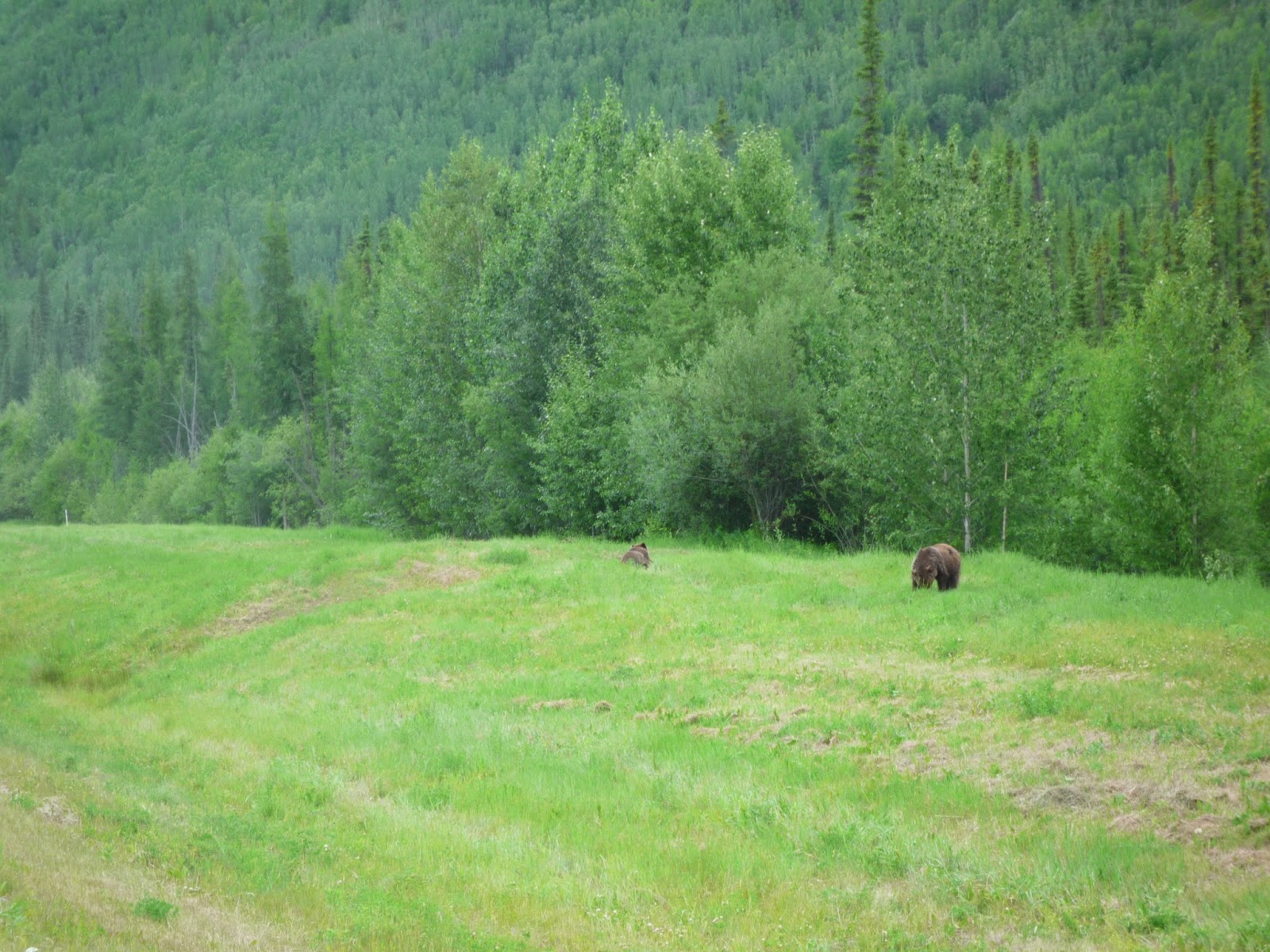
A few miles south of Chama I turned west on US 64, which is another scenic road through hills and valleys until it gets to Farmington, which isn't scenic at all. The weather had turned windy and wet, and I rode through a heavy shower before finally stopping in Farmington to put on my rain pants and rain gloves. I crossed into Arizona and at Mexican Water went south on US 191, which goes by Canyon de Chelly National Monument. By this time it was late afternoon and the wind was blowing hard, and I rode through a few sprinkles to Chambers, AZ at I-40 where I spent the night. The next morning I rode on I-40 to Holbrook, and then took AZ 77 to Show Low, where I had breakfast. This is a popular motorcycle riding area, and there were several bikes in the restaurant lot. I continued on AZ 77, which joined with US 60, south through the mountains to Globe. There was light traffic, curvy roads, and saguaro cacti all along the road as I got further south. In Globe I stayed on 77 south towards Tucson, and then picked up US 89 into town.
Jim was an old friend from work who moved to Tucson about a dozen years ago. He and I took a couple of motorcycle trips together and he and his wife came back to the Bay Area often enough that we stayed in touch. He was diagnosed with cancer a couple of years ago and did well for awhile, but he'd been deteriorating and was in a hospice. I visited with him and we talked about old friends and rides we'd taken. We used to talk a lot about politics, but with little time left it seemed pointless to both of us. I spent the night at a motel nearby, and in the morning I visited him again before heading north on I-10 towards Phoenix.
In Phoenix I picked up I-17 and followed that north before exiting at AZ 179 towards Sedona, a very picturesque and expensive town with red rock bluffs surrounding it. It had showered just before I arrived, and the landscape was very beautiful in the afternoon light.

Sedona is supposed to be at the nexus of energy flows, and I wanted to buy a few crystals to give to the family - sort of a joke, but the crystals were also lovely. What better place to purchase crystals than at the Center for the New Age?

Crystals safely in my tank bag, I rode US 89A north out of town - a narrow and curvy road that follows a river into the hills. There was little traffic in my direction and I was able to maintain a good pace, although there were several jams heading south. Outside Flagstaff at I-40 I went west to Kingman, where I spent the night at a Super 8. I even got a discount because the air-conditioning wasn't working at full capacity, although a rainstorm had cooled everything off and it was quite comfortable. Coming back from diner I saw a huge double rainbow arching across the sky, but my camera was back in the room.
The next morning I took US 93 past Hoover Dam through Henderson and into Las Vegas. After breakfast I decided to ride the ring road around the city, which went by huge apartment complexes, many of which looked to be very empty. I took US 95 past the Death Valley turnoff and then took NV 266 over Lida Summit and into California, where the road becomes CA 168 and goes over a couple of passes before ending at US 395 in Big Pine. This was about 90 miles of deserted, winding, and rolling road.
US 395 is the major north-south road on the eastern side of the Sierra - there are hills and curves, but it isn't really challenging. It is well-paved and well-maintained, and varies from two-lane to four lanes. I stopped early in Lee Vining, spending the night there and having diner at Nicely's restaurant for old times sake.
The next morning I rode north on 395 to Minden, where I had breakfast at the Carson Valley Inn with Dave, a friend with whom I used to work in Silicon Valley. From Minden it was a familiar ride to the Bay Area on CA 88 into California, then CA 89 through Markleeville and CA 4 over Ebbett's Pass and into Angel's Camp and the Central Valley. From Stockton it was I-5 and I-205 through Tracy and Livermore and into the Bay Area.
My timing was good and I stopped at a restaurant in Foster City at a retirement party for a former work friend. Carol and other friends were there as well, and after an hour of socializing, I rode on my familiar route back home to San Francisco, 42 days and 13,500 miles after I left.